
Description
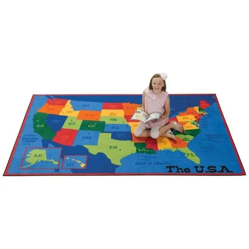
The USA Map Classroom Rug turns the classroom floor into the most engaging geography lesson in the building. All 50 states labeled and color-differentiated across a full map of the United States that students can walk on, point to, gather around, and reference every single day. It is the kind of teaching tool that works from the first week of kindergarten through the last day of fifth grade and never gets old.
| Size | Best For |
|---|---|
| 4′ x 6′ | Reading corners, small group areas, library nooks |
| 6′ x 9′ | Medium classrooms, circle time areas, resource rooms |
| 8′ x 12′ | Full classroom gathering space, whole-class geography lessons |
Perfect for kindergarten through upper elementary classrooms, school libraries, social studies rooms, and any learning space where geography is part of the curriculum. The colorful state differentiation makes it easy to identify individual states at a glance, and the labeled layout means every geography conversation can start with students simply pointing to the floor.
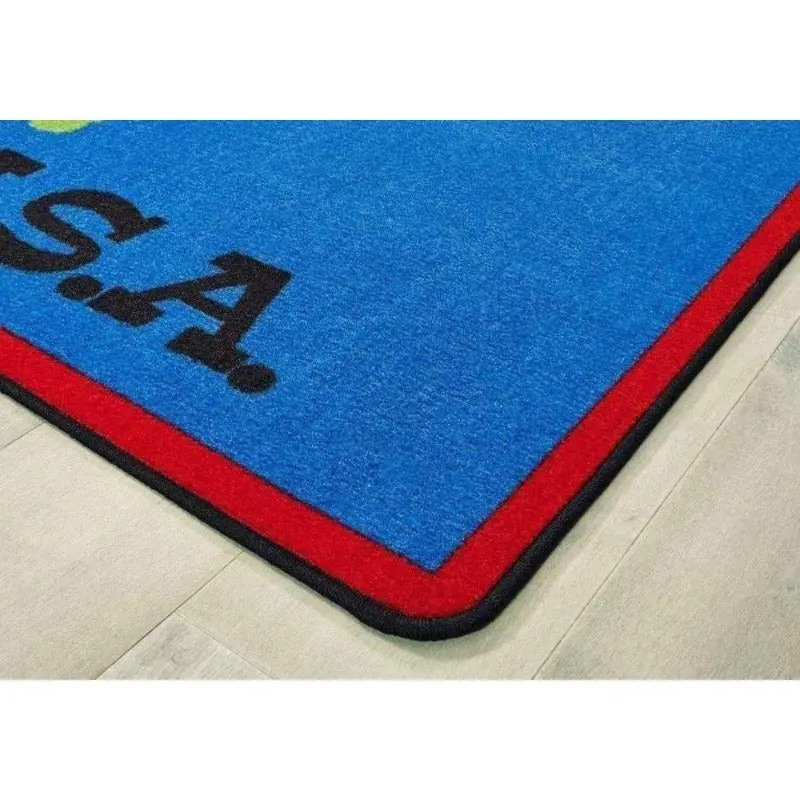
Made in the USA by Carpets for Kids with 100% continuous filament nylon, KIDply backing, and advanced stain protection. Ships in 4 to 7 business days.
Teaching Ideas
State identification games
Call out a state name and have students race to find and stand on it. Challenge the class to find all the states that border a specific state, locate states by region, or find their home state and a state they would like to visit. A high-energy movement and geography activity that uses the classroom floor as the game board and requires no materials, no preparation, and no setup from the teacher.
Capitals, landmarks and state facts
Use the map as the anchor for a daily state fact routine — pick a state each morning and ask students what the capital is, what the state is famous for, what famous people or companies came from there, or what the state flower or nickname is. A low-prep geography warm-up that builds cumulative state knowledge over the course of a school year without requiring a dedicated geography period.
Region and compass direction activities
Use the map rug to teach compass directions, cardinal and intermediate directions, and US geographic regions. Ask students to find all the states in the Northeast, identify which states are on the West Coast, or walk from a southern state to a northern state counting how many states they cross. A concrete, physical geography activity that makes abstract map skills immediately tangible for young learners.
Specifications & Certifications
| • Made in the U.S.A. by Carpets for Kids | • Class 1 Fire Rating |
| • 100% continuous filament nylon | • KIDply backing system |
| • Advanced stain protection | • Anti-slip backing |
| • Built for high-traffic classroom use | • Free shipping on all sizes |
Explore more from our collection.
Reviews
There are no reviews yet.